
Canton ZIP Code Coverage at a Glance
This Canton ZIP code directory uses a County GIS intersection of official City of Canton boundary data and County address points, matched to five-digit USPS-area data. It is not a generic list of every mailing place that can use the word Canton. The address-point counts are evidence of points inside the City polygon. ZIP areas remain Postal Service delivery geography, and the County ZIP data was downloaded in October 2019, so a full address still needs current USPS verification.
| ZIP | City-boundary address-point evidence | Post office or coverage orientation | Verified note |
|---|---|---|---|
| 44641 | 7 points | Louisville | Tiny Canton-city presence, not a general Canton mailing area. |
| 44702 | 550 points | Canton | Downtown or core example. |
| 44703 | 3,849 points | Canton | Northwest and near-central example. |
| 44704 | 2,203 points | Canton | East and near-central example. |
| 44705 | 5,925 points | Canton | Northeast example. |
| 44706 | 3,404 points | Canton | Southwest example. |
| 44707 | 2,497 points | Canton | Southeast example. |
| 44708 | 3,244 points | Canton | West example. |
| 44709 | 5,967 Canton-labeled points, plus 1 North Canton point | Canton | Postal-city labels can differ within one ZIP. |
| 44710 | 2,740 points | Canton | South and southwest example. |
| 44714 | 2,750 points | Canton | Northeast example. |
| 44718 | 20 points | Canton | Northwest-fringe example. |
| 44721 | 30 points | Canton | Northeast-fringe example. |
| 44730 | 39 Canton-labeled, 53 East Canton-labeled, 1 Clinton-labeled point | East Canton | Southeast fringe; verify each address. |
ZIP 44720 intersects the County polygon but the city-boundary address-point query found zero Canton-city delivery addresses. Treat it as an overlap, not a Canton street-address ZIP. ZIPs 44701 and 44711 returned no County delivery address points. Research did not verify either as a PO-box or unique ZIP, so this Canton ZIP code directory does not make that claim.
Canton ZIP Code Delivery Geography
A Canton mailing name does not establish City of Canton jurisdiction. The postal ZIP supports delivery. A City boundary identifies the municipality. A County parcel identifies a land record. One full street address can be inside a city polygon, carry a postal city label used elsewhere, and connect to a parcel whose mailing address is outside the City. Treating those labels as interchangeable creates bad map and record matches.
USPS ZIP Code Lookup is the delivery check for a particular current address. Use the full street number, direction, suffix, and unit if applicable. The table above gives orientation only. It does not replace the Postal Service result for a current mailing question.
The USPS ZIP Code Lookup image source documents the delivery-verification route used with Canton ZIP code research.
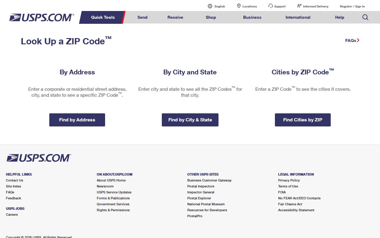
After USPS confirms delivery, compare its answer with the County address point and parcel. A postal result is powerful for mail routing, but it is not a determination of municipal boundary or title.
Find a Canton ZIP Code Address
A ZIP can organize a place question, but the verified workflow stays address-first because no local portal observed during research offered a confirmed ZIP-wide property, voter, or court filter. The County GIS address layer contains ZIP fields in its data, yet the public viewers chiefly expose address, parcel/PIN, owner, and appraisal-neighborhood text sources. The state voter lookup confirms a named person in a county; it is not a ZIP-by-ZIP roster.
- Confirm the complete mailing address with USPS ZIP Code Lookup. Treat the ZIP table as a guide, not individual delivery proof.
- Search the complete directional address in the Stark GIS Basic or Advanced Viewer using Address or Address or Parcel Number.
- Open the address point or parcel and compare its ZIP and USPS-city attributes with the postal result and current City boundary.
- For a parcel or ownership question, keep the PIN, owner, and legal description, then use the Recorder for the relevant recorded instrument.
- For a named voter confirmation, use first name, last name, and Stark County in the Ohio lookup. Do not expect a ZIP-wide list.
- For a historical listed person, take the confirmed street address to Stark Library's criss-cross and city-directory sources rather than applying a modern ZIP to an early directory.
Once a ZIP search has narrowed to an exact address, the Canton street directory provides the full parcel-to-Recorder sequence. That address chain has more evidentiary value than attempting to infer a street result from a postal area.
Canton ZIP Code Search Limits
The absence of a verified ZIP-wide filter is an important Canton finding, not a gap to fill with a guess. The Real Estate Search was under maintenance when inspected. Only its Basic Search, Advanced Search, GIS/Map Search, and Septic & Well labels were visible. No owner, address, parcel, or ZIP field should be attributed to that form until a new field-level inspection confirms it. Canton iWorQ begins with a permit number, not an observed ZIP control.
| Observed search control | Where | Verified function | ZIP-wide capacity |
|---|---|---|---|
| Address | Stark GIS Basic Viewer | County parcel composite locator, up to six suggestions. | No standalone ZIP filter advertised. |
| Address or Parcel Number | Stark GIS Advanced Viewer | County composite locator, up to six suggestions. | No standalone ZIP filter advertised. |
| Parcel Number | Basic and Advanced GIS | Exact PIN query, up to six suggestions. | Not a ZIP search. |
| Owner / Owner Name | Basic and Advanced GIS | Partial owner text; Advanced permits up to ten suggestions. | Not a ZIP search. |
| First Name, Last Name, County | Ohio Voter Lookup | Named voter confirmation; street step can narrow same-name results. | No ZIP roster or ZIP filter verified. |
For a defined public record beyond the online tools, the Stark County Board of Elections provides the local counter and public-records route. A request should identify an existing record, date range, and desired format. No Board-specific ZIP output, bulk-file application, fee, or release format was verified. A no-result in a ZIP is not proof that a person, record, or address does not exist.
Canton ZIP Fields in GIS
Stark County GIS resources lead to the Basic and Advanced viewers, which are the documented map alternatives while the property form remains partly unverified. The County's official address service stores full address, address-point ID, status, house number, unit, street prefix, name, type, suffix, municipality, ZIP, USPS city, source, side, and structure type. The parcel service adds separate site, owner, mailing, and billing components, along with legal description and tax or sale fields.
The GIS layers are useful for locating one complete address and comparing mapped boundary context. The Advanced Viewer also provides selection tools, layers, attribute tables, export, drawing, measurement, and printing. County terms caution that online information can contain errors, omissions, or time lag. For a legal land question, follow the documented parcel or legal description to the Recorder rather than treating a screen display as controlling evidence.
The Stark County GIS image source shows the county mapping resource used to compare an exact Canton address with its stored geography.
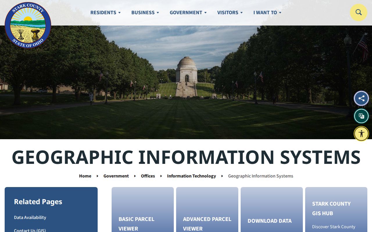
The useful record habit is simple: preserve direction, unit, and street suffix, then compare ZIP and USPS-city fields with the postal result and the appropriate government boundary layer.
Canton ZIP Code and City Limits
City boundary, USPS city, postal ZIP, and parcel fields serve different roles. The City boundary defines municipal geography. USPS city is the postal label stored for delivery. A ZIP is a delivery geography. The parcel's situs is its physical location, while its mailing address is the destination for tax correspondence. A legal description is the recorded lot, block, allotment, subdivision, or other land description that supports continuity when street labels change.
The 44709 results show why that distinction matters: the City-boundary query found 5,967 Canton-labeled points and one labeled North Canton. The 44730 results include Canton, East Canton, and Clinton labels. Neither result permits a reader to turn a ZIP into a municipal border. The 44641 entry has only seven City-boundary address points and is oriented to Louisville, another reason to verify the full delivery address.
Boundary check. When a postal answer and a mapped boundary appear to disagree, retain both source dates, inspect the full address, then ask the City or County custodian about the existing geographic record.
Canton ZIP Code Terms
Postal and property terms look alike in a search result but describe different information. Keeping the terms separate makes a Canton ZIP code search easier to verify and prevents an address field from being overstated.
- ZIP
- A Postal Service delivery geography, not a municipal boundary or a parcel identifier.
- ZIP+4
- An added delivery refinement. It does not establish a political or property jurisdiction.
- PO-box ZIP
- A ZIP used for post-office-box delivery. Research did not verify that status for 44701 or 44711.
- Unique ZIP
- A ZIP assigned to a single organization or high-volume addressee. No such Canton classification was verified here.
- Carrier route
- A Postal Service delivery sequence within an area, not a City boundary or a resident record.
- Situs and mailing address
- The physical parcel location and the tax-correspondence destination, which may differ.
Use a legal description and Recorder evidence for a durable property trail. Use the postal lookup for current delivery. Use city or county boundary data for municipal geography. The terms work together, but none substitutes for the other.
Canton ZIP Codes and Neighborhoods
A ZIP boundary is not a neighborhood boundary. Canton planning material describes more than 50 neighborhood organizations, yet that context does not create a fixed postal boundary or an official roster of individual members. The Lathrop and Sherrick Road planning document illustrates how a neighborhood can have its own history and boundaries. Its source and date should be retained rather than converted into a hard line for every address that shares a postal area.
Canton's incorporated area is also different from all Stark County mailing addresses that use a Canton place name. The Census Bureau's QuickFacts profile reports 26.32 square miles of land area for the City, a statistic about the incorporated city, not a postal geography. This local distinction matters most on fringe ZIPs, where a City name or postal orientation can cross municipal lines.
Note: Neighborhood, postal, parcel, and City boundary records should be compared by their stated source and date because each was created for a different administrative purpose.
Canton ZIP Code Historical Caution
ZIP codes are modern delivery geography. They should not be applied backward to an early Canton directory, newspaper notice, or map. For an older address trail, the County GIS historic-map collection offers tax maps from the 1940s through 1997, pre-1940 660 maps, scanned surveys, and selected aerial years. Canton Sanborn sheets for 1887, 1891, 1897, 1914, and 1950 add street, block, and building context at a stated date.
Historic city directories and criss-cross books are the address-to-listed-person sources for their own editions. A map can anchor the building or lot, while a Recorder document supplies title evidence. Compare the historic street wording, legal description, plat, and current GIS point before treating a modern delivery label as a historical fact. That record sequence respects the difference between a postal route and the changing physical city.