
Canton Neighbors Block Sources
Canton neighbors can be researched through records that answer different questions about a small area. Stark GIS identifies parcels around a selected address. The Recorder supplies recorded instruments connected to a parcel. Voter Lookup confirms a named voter in the proper county, but is not a nearby-address browsing tool. City permit and neighborhood-program material can provide document or civic context. None of these sources produces a complete list of people on a block. The access limits matter as much as the field names.
| Source | Block information | Access and limit |
|---|---|---|
| GIS adjacent-parcel selection | Parcel shapes, PINs, site, owner, mailing, and mapped context | Free viewer; owner field is not a full household list |
| Recorder chain | Recorded party and document sequence for a selected parcel | Archive guide 1809-1981; current guide 1982-present |
| GIS jurisdiction layers | Appraisal neighborhood, municipal, tax, school, and voting overlays | An appraisal neighborhood is not a civic membership list |
| Ohio Voter Lookup | Confirmation for a named voter with county selection | No public block or street roster |
| City permit records | Address-specific document and status in the new system window | Not a general resident directory |
| Neighborhood program | Community participation and contact context | No member or household roster |
Use one source at a time and preserve its scope. A parcel owner, a recorded party, a voter record, and a permit applicant are separate roles that may describe different people and different dates.
Canton Neighbors in Stark GIS
Stark County's Basic GIS Viewer accepts Parcel, Address, or Owner searches. It also provides exact Parcel Number, partial Owner, county Address, and world address/place routes, each with a stated suggestion limit. The Advanced Viewer adds partial Owner Name, Address or Parcel Number, and Appraisal Neighborhood ID searches. Its map tools include line, extent, circle, and polygon selection, partial selection, measurement, drawing, a layer list, an attribute table, printing, and CSV export of selected public parcel fields.
The Stark County parcel data service defines the fields illustrated by the image below. A result can include PARID or PIN, site address, owner, owner and mailing fields, legal description, classification, acreage, tax context, sale details, prior owner, and update date.
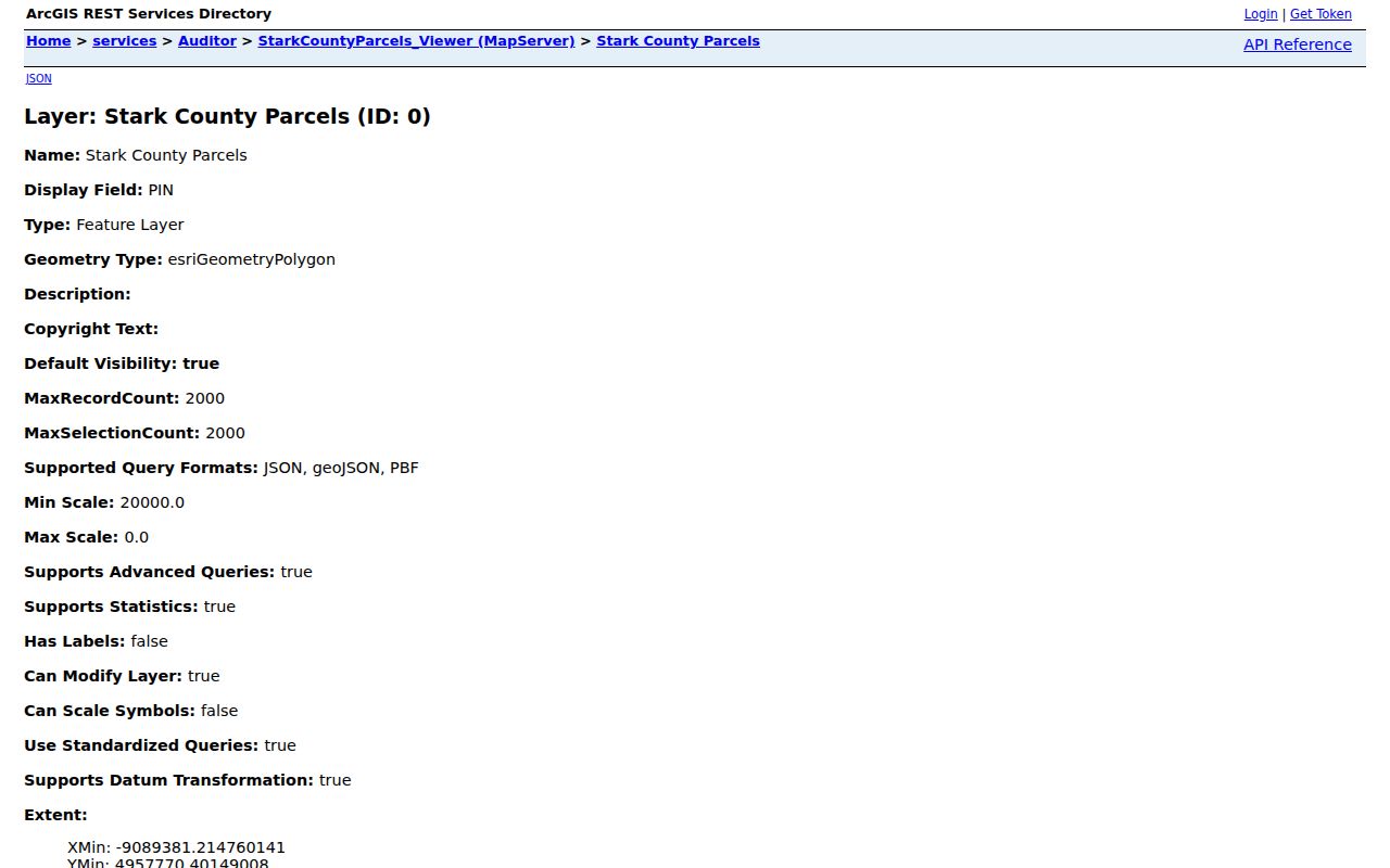
Situs means the physical parcel address. Mailing address means the destination for property mail. The difference is useful for interpreting a parcel card, but it does not establish who is presently at the site.
Mapping Canton Neighbors by Parcel
Use a single address as the map anchor. In the Basic Viewer, select its parcel and pan to the immediately adjoining shapes. In the Advanced Viewer, draw or select an extent, circle, or polygon around that parcel, allow partial selection when appropriate, then open the attribute table. Measurement and print tools can document the area under review. The process establishes nearby parcel relationships without turning mapped fields into claims about every person connected to an address.
- Enter the complete address in the Basic or Advanced Viewer and retain the full returned address form and PIN.
- Open the parcel pop-up and note the site address, legal description, owner, separate mailing field, and update date.
- Click only the immediately adjoining parcels, or select a small mapped area, then inspect the attribute table.
- Use the Recorder when a recorded transfer, plat, or legal description needs confirmation.
- Keep each result attached to its parcel and source date; do not combine fields into a household roster.
The Stark County GIS Basic Viewer is the official starting point. For a longer named-street chain, the Canton Street Directory follows the address record sequence beyond the immediate block.
Canton Neighbor Parcels and Deeds
A map selection is a prompt for record checking, not final proof. The Recorder's archive guide covers 1809-1981 and the current guide begins in 1982. Search the recorded instrument using the parcel's legal description, parties, recording date, and document reference when available. The purchase deed identifies grantor and grantee. Plats and the Auditor's tax-map work can bridge a street address to a lot, allotment, subdivision, or recorded instrument.
The CountyFusion public route permits public users to search recorded documents and view images according to the Recorder. The Recorder says online document copies are free, while counter and copy options remain available. A map shows geometry, a parcel card supplies tax and owner context, and a recorded instrument supplies the land-document trail. No one of those sources proves who may be inside a building on a given day.
Canton Neighbors and Voter Limits
Ohio Secretary of State Voter Lookup requires First Name, Last Name, and County, with a street-name narrowing step only when same-name results need sorting. Select Stark County for a Canton record. The tool confirms a named registration; it does not offer a way to browse everyone near an address. A no-result may reflect an unregistered voter, a changed name or address, a matching problem, or confidential registration. It should never be read as proof that a person is absent from a block.
ORC 3503.13 excludes sensitive registration details from routine disclosure, including confidential records and protected-address information. ORC 111.44 protects confidential voter registration for eligible Safe at Home participants. Public voter information may document a record at a point in time, but ballot choices are not disclosed. The Stark County Board of Elections offers the local public-records route for a sufficiently specific existing record request; no verified local block-output mechanism or fee schedule was identified.
Canton Neighborhood Civic Contacts
Canton's neighborhood organizations add civic context without identifying members. City material says more than 50 neighborhood organizations serve city areas and participate in a Neighborhood Leadership Council. That fact helps explain the scale of local community work. It is not a public membership directory, association roster, block-watch list, or household-contact database. A neighborhood name is also not a hard parcel boundary. City, postal, tax, and appraisal boundaries can differ.
| City neighborhood organizations | Canton neighborhood organizations, civic coverage context only. |
|---|---|
| Beautify a Neighborhood | Cleanup participation route, scheduled Saturdays April through October; City contact Gus Dria, 330-438-4647. |
| Lathrop and Sherrick Road material | Example of neighborhood history and boundaries that should be cited by source and date. |
The City neighborhood-organizations source appears below. It supports a civic-context search, not an inquiry for a list of Canton neighbors.
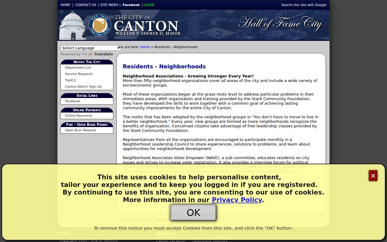
Contact a particular organization through its official channel only when the purpose concerns an open community activity or publicly announced process.
Canton Neighborhood Program Context
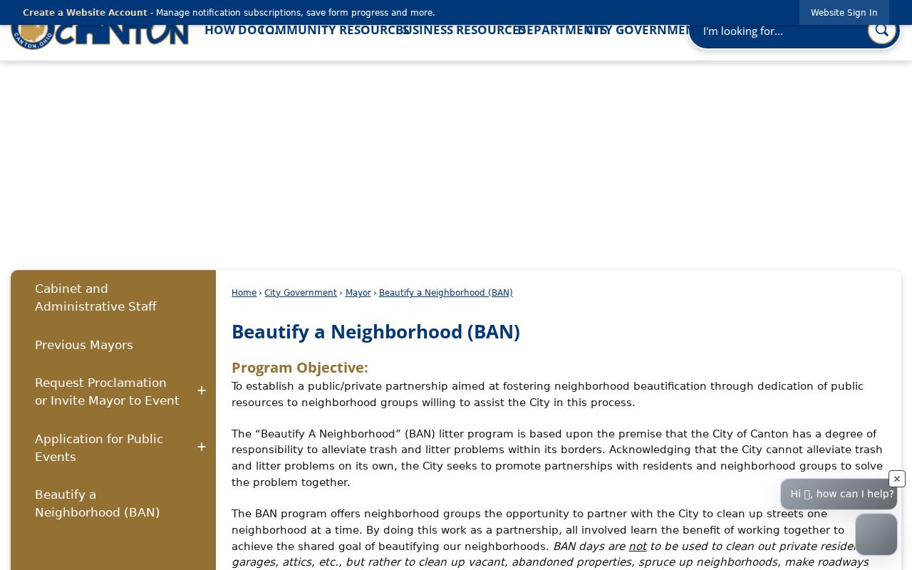
Canton's Beautify a Neighborhood program is a documented route for groups, organizations, and individuals to apply for scheduled cleanup Saturdays from April through October. The City states that the program partners with neighborhood groups. It does not publish a citywide association roster, a block-watch roster, membership names, or a household contact directory. Treat it as an example of community participation rather than a way to identify people on a block.
The Beautify a Neighborhood program is shown in the source image below. The address-specific record source remains the county parcel and Recorder system, while a civic program supplies a different kind of local context.
Historic cemetery and archive inquiries should likewise be focused and source-specific. Canton Cemetery Association did not expose a verified broad online interment search during research.
The Canton Cemetery Association is represented by the image below. It is a burial-history contact route, not evidence of a present neighbor relationship.
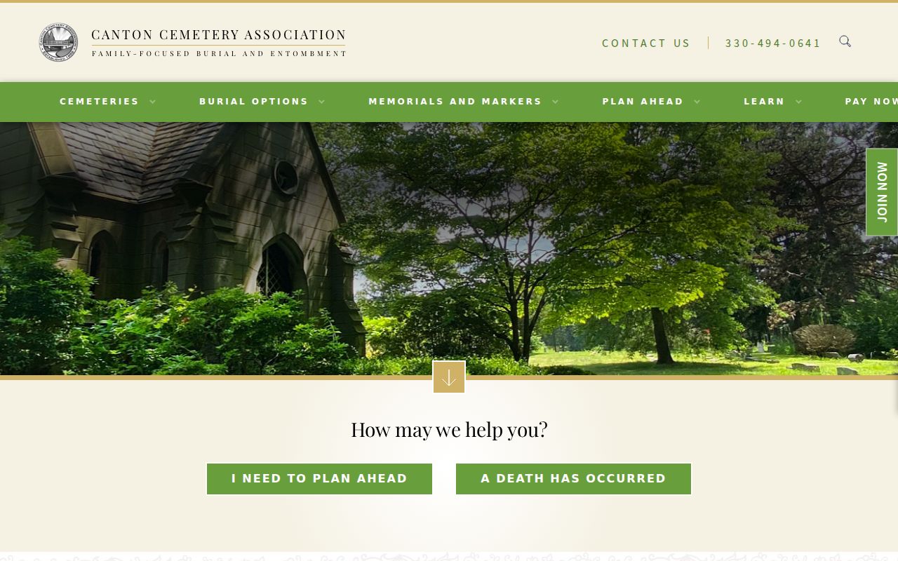
For an older place question, record the cemetery's stated information and ask the office about its process before treating an index as available.
Canton Neighbor Source Comparison
Official records and commercial neighbor-finding categories serve different purposes and have different limits. Official sources identify the custodian, record date, and defined field scope. Commercial data services may combine old and mismatched material, can carry stale information, and may provide their own opt-out process. Neither category creates a complete list of people at a parcel. When a record appears wrong, direct the correction or redaction question to the official office that created it.
| Source category | Useful for | Limit to retain |
|---|---|---|
| Official GIS and Recorder records | Parcel geometry, recorded documents, and source-specific owner fields | Owner or mailing fields are not all people at a site |
| Official voter verification | Named registration confirmation in the proper county | No block browse; statutory redactions apply |
| Commercial data category | A possible lead to check with an original source | May be stale, misattributed, or incomplete |
The Canton Crime Information Report is shown below because it is a local public-information source with an explicit boundary. The City says it is not an official police report. Do not treat it as a resident, address, or neighbor search.
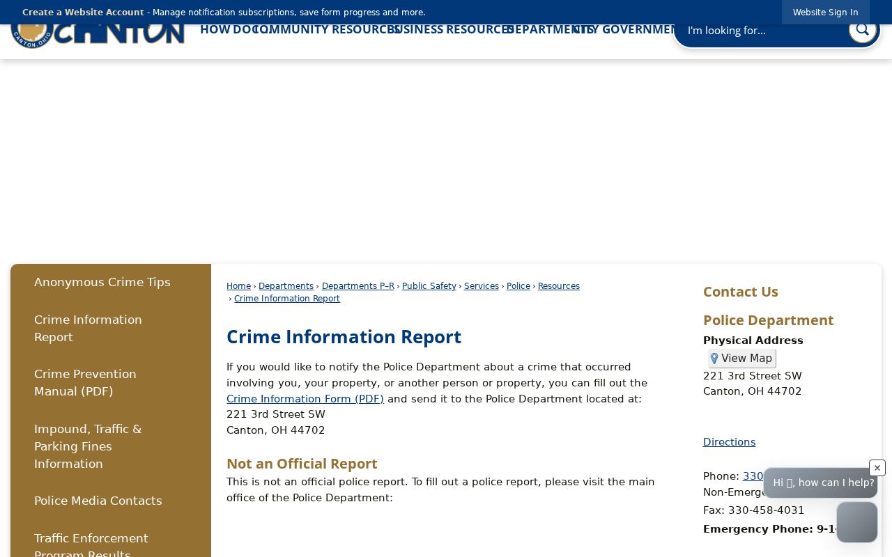
For a narrow incident or accident record, use the correct agency's documented request process and retain the report date, location, and record identifier.
Canton Neighbors Privacy Limits
Several records remain private or limited even when a parcel is visible. A map does not identify all people in a building, protected residents, utility customers, delivery information, or a census household on demand. Safe at Home can supply an eligible participant with a substitute-address method and confidential voter registration. Ohio law also imposes specific online-redaction and voter-information limits. Public records are record-specific, so the correct question is what a custodian maintains and what law permits it to disclose.
Lawful use. Canton neighbor research is for documented property, civic, family, or personal-safety questions. Do not use a record trail to watch, harass, intimidate, or harm any person.
When a field seems inaccurate, contact the office that created or holds that record. A request to a commercial service does not alter a Recorder document, a tax field, a court record, or a voter registration.