
Walk a Canton Street by Address
Canton address research is a chain of place-based records, not a household roster. The most reliable path is address to GIS parcel or PIN, then owner and separate mailing fields, then a Recorder instrument, tax-map or plat context, a dated City permit record where relevant, and historic address directories. Each handoff answers a narrower question. GIS fixes the place on the map. The parcel card supplies tax and ownership context. The recorded instrument supports a title trail. A criss-cross directory may show a person listed at an address in a particular historical edition.
- Enter the complete Canton address in the Basic or Advanced GIS viewer. Keep the direction, street suffix, ZIP, USPS-city label, and returned parcel/PIN together.
- Open the parcel result and note its situs address, owner, mailing address, legal description, recent sale details, and previous-owner field where shown.
- Use the map, parcel selection, or attribute table to inspect the named street segment. The Advanced Viewer can select an extent, line, circle, or polygon and export selected public parcel attributes.
- Take the legal description, owner, transfer date, or document reference to the Stark County Recorder. Use the guide for the correct time period and confirm a material match on the recorded image or a counter copy.
- For a named voter, use the Ohio lookup with a name and Stark County. It is a confirmation route, not a street-wide roster.
- For a dated listed name, ask Stark Library about Haines Criss+Cross directories, phone books, or digitized Canton city directories.
The order prevents a common error: treating a mailing field or an owner name as proof that every person connected with a property lives there. For a particular current address, the GIS result and original custodian record are the starting evidence.
Canton Street Directory GIS Fields
Stark County's Basic GIS Viewer supplies the verified search controls for a Canton street directory search. The public Real Estate Search shows Basic, Advanced, GIS/Map, and Septic & Well tabs, but its form was under maintenance during research. Its unobserved fields should not be assumed. The GIS viewers are the documented alternative for an address, owner, or parcel lead.
| GIS field | Match type | Required | Observed limit or use |
|---|---|---|---|
| Parcel Number / PIN | Exact text | No | Up to six suggestions in either viewer. |
| Owner / Owner Name | Partial text | No | Basic shows up to six suggestions; Advanced shows up to ten. |
| Address / Address or Parcel Number | County composite locator | No | Up to six suggestions. |
| Find address or place | World Geocoder text | No | Basic Viewer United States address/place route, up to six suggestions. |
| Appraisal Neighborhoods | Partial NBHD_ID text | No | Advanced Viewer, up to six suggestions. |
The Advanced Viewer also has layer controls, partial selection, drawing, measurement, printing, an attribute table, and CSV export. Parcel, road/address, sale, city or township boundary, tax district, voting district, neighborhood, zoning, flood, and plat or survey layers place a street result in context. Those layers describe land and mapped jurisdictions, not a full resident list.
The Stark County Recorder image source is a useful reminder that parcel work and recorded-document work are separate steps in a Canton street directory search.
The screenshot is an entry point, not proof of a result. Open the relevant parcel or search control and preserve the exact address components before comparing an ownership or deed record.
Canton Property Search Status
Stark County Real Estate Search is operated for the County Auditor and Treasurer. Its public gateway exposed Basic Search, Advanced Search, GIS/Map Search, and Septic & Well Search during the inspection. The detailed form was under maintenance, so no exact address, owner, PIN, street, ZIP, export, or record-card field is claimed for that separate portal. The visible navigation is useful orientation, while the verified GIS controls remain the defensible search route.
The property gateway warns that electronic data may change or become out of date and directs users to original recorded documents for legal transactions. That warning fits the Canton sequence: use the property and GIS tools to identify a parcel and its public attributes, then confirm a deed, plat, or other recorded instrument with the Recorder. It also explains why an online result should be dated and saved with the actual field values used in the search.
Canton Street Records by Address
Several Canton and Stark County records are keyed to, or can be connected with, an address. They do not all mean the same thing. A parcel record can identify the county's tax and ownership association. A deed can document a recorded transfer. A permit can identify work proposed at a location. A historic address directory can give a dated printed listing. Reading them together is more useful than relying on one field alone.
| Address-connected record | Custodian | Useful field or evidence | Access and limit |
|---|---|---|---|
| GIS parcel and address point | Stark County GIS/Auditor | PIN, site, owner, mailing, legal description, sale, tax, and ZIP or USPS-city components | Free Basic and Advanced viewers; online display is not the controlling legal record. |
| Recorded instruments | Stark County Recorder | Deed, mortgage, easement, plat, grantor/grantee, and recording chain | CountyFusion public search; archive guide 1809-1981 and current guide 1982-present. |
| Tax maps, plats, surveys | Auditor Tax Map Department/GIS | Lots, allotments, transfers, splits, annexation, and street dedication or vacation | Map and index route; match the deed or plat image for durable proof. |
| iWorQ permits | Canton Building/Code | Existing permit number and inspection status | Online only for plans and permits created October 1, 2025 forward. |
| Criss-cross and phone directories | Stark Library | Historical address-to-listed-person entries | Library-held; exact local years are not published. |
| Voter verification | Ohio Secretary of State / Stark Board of Elections | Name, county, and a same-name street narrowing step | Confirmation by name, not a street-browse output; statutory redactions apply. |
The County GIS parcel service keeps separate SITE_ADDRESS, OWNER_ADDRESS, MAILING_NAME, MAILING_ADDRESS, and billing components. The distinction matters. A site or situs is the physical parcel location, while a mailing address is the destination for tax correspondence. Neither field identifies every person associated with a building.
Canton Address Components Matter
Canton addresses should be copied in their complete form. The County address service separates full address, address-point ID, status, house number, unit, street prefix, name, type, suffix, municipality, ZIP, USPS city, source, side, and structure type. Canton examples use NE, NW, SE, and SW. Losing a direction letter or street suffix can point a GIS, permit, directory, or deed search at the wrong place.
- Parcel or PIN
- The county tax-map unit and identifier that links a map result to property fields.
- Situs address
- The parcel's physical location, separate from its mailing and billing address components.
- Plat or legal description
- The recorded lot, allotment, subdivision, or other land description used to match an address to a Recorder instrument.
- Criss-cross directory
- A historic directory arranged by address to a listed person rather than by surname.
- Grantor and grantee
- The party transferring a recorded interest and the party receiving it.
For a mismatch between an older listing and a current street label, compare the historic address, legal description or lot, recorded plat reference, historic tax map, and current address point. The Tax Map Department reviews conveyances, splits, combinations, replats, annexations, street dedications, vacations, and highway plans. Research did not locate an official Canton grid-origin, renumbering, or street-renaming date, so a similar street name alone is not enough to prove continuity.
Stark County house-numbering guidance makes the city and county distinction visible: the County assigns new addresses only in unincorporated Stark County, while cities and villages assign their own.
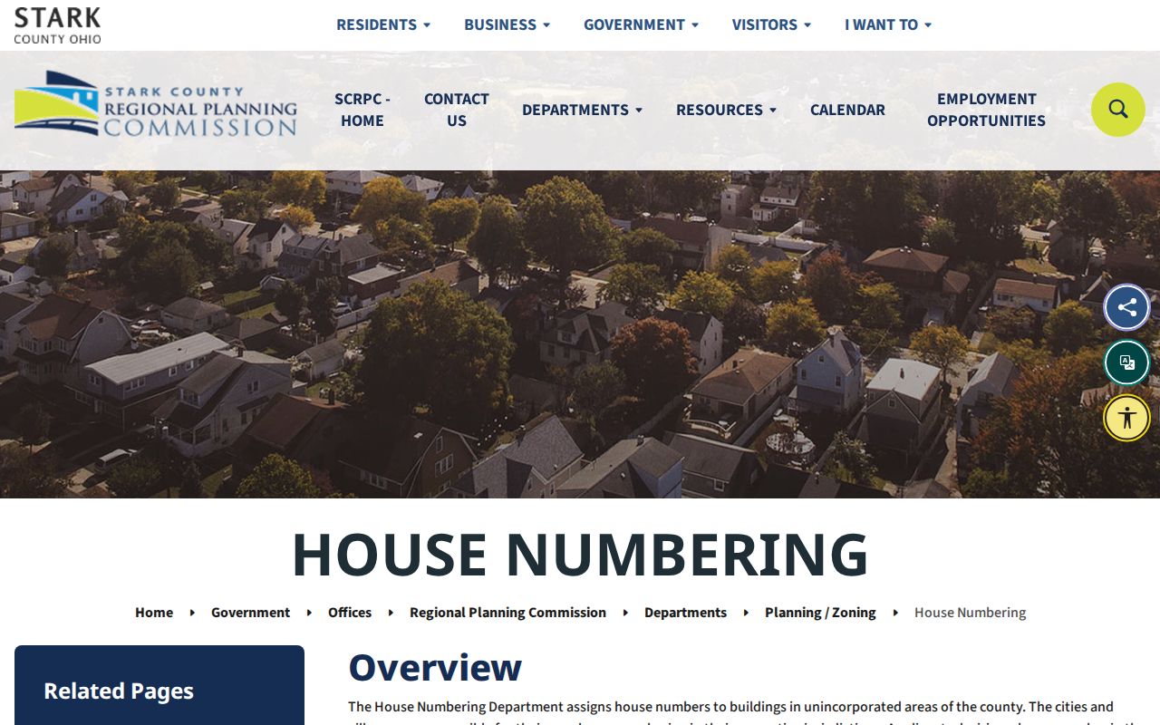
For a Canton-city address question, the useful contacts are City Building/Code or Planning/Zoning together with the current County address-point and GIS data, not the unincorporated-county application process.
Canton Deeds Along a Street
A street address is not the Recorder's permanent legal key. Start on the parcel card, capture the PIN, legal description, current owner, sale details, and document reference if shown, then locate the current purchase deed. The deed identifies the grantor and grantee and confirms the legal description. Search the former owner in the appropriate role and date range, matching that description rather than merely matching a street-text result. This protects against parcel splits, combinations, and multi-parcel transfers.
The Recorder's search instructions divide the local access route clearly: the archive guide covers 1809-1981, and the current guide covers 1982-present. When a chain crosses 1981 and 1982, use both. The public CountyFusion route permits public login and the county says public users may search records and view images. The original filed instrument remains the controlling record.
The Recorder search-instructions image source shows the official point of entry for the two guide ranges.
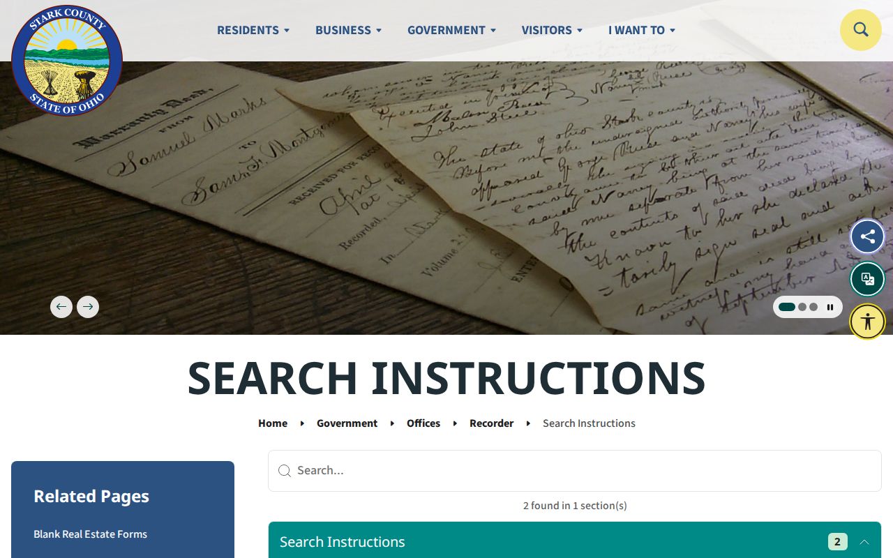
If an online entry does not resolve the document, use the Recorder's public terminal or counter, or request an image or copy by document reference. The Recorder offers free online copies, self-service copies, staff-made copies, certification, and a mail-copy route with a certified-copy request, fee, and self-addressed stamped envelope.
Canton Permit Record Cutoff
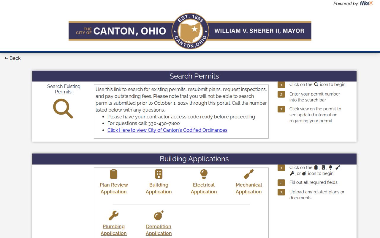
Canton's iWorQ portal is useful for an address-connected permit question only within its stated new-system window. The City says existing plans and permits created on or after October 1, 2025 can be searched online. The search begins with a permit number, and the View control opens updated information. Inspection requests, applications, and invoices are separate portal functions; submitting one does not mean it has been approved or scheduled.
Older permit, review, or inspection material is not made complete by the new portal. Call City Building/Code at 330-430-7800 or make a focused public-records request for an existing record. Canton says a public-records request may be oral, anonymous, or written, and its form is a convenience rather than a prerequisite under the Ohio Public Records Act. State the address, a tight date range, record type, and desired delivery format.
Canton's permit information image source documents the City portal and its online-search boundary.
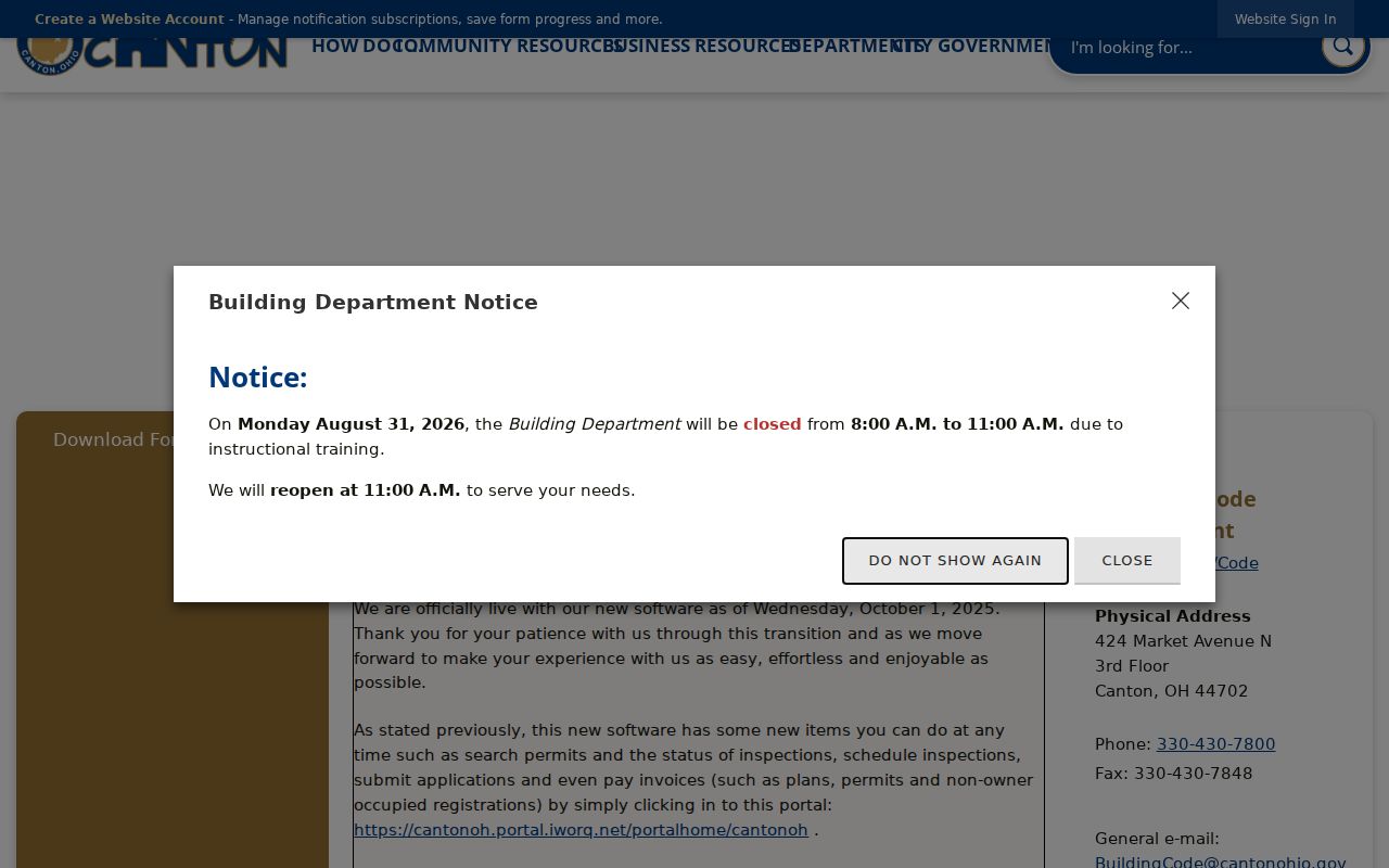
Permit files can connect work, a named applicant, an owner, and a work address at a stated time. They are administrative records, so they should not be treated as proof of a present household.
Canton Street Directory on Historic Maps
For a historical street question, a modern postal or parcel view can be the wrong starting point. Stark County GIS offers current tax maps, historic maps from the 1940s through 1997, pre-1940 660 maps, scanned surveys, and stated aerial-image years. The Historical Maps app, 660 Maps, and Historical Lot Index offer a way to compare a parcel or street context across time. Some imagery is view-only, so counter or request conditions should be checked when a copy is needed.
The Canton Sanborn editions provide another fixed-date layer. Research identified 1887, 1891, 1897, 1914, and 1950 volumes. They show street names, building footprints, uses, and fire-insurance notation, not occupants. Pair the map edition with a directory, criss-cross book, newspaper, or recorded document that bears its own date. A postal ZIP should validate current delivery, not be projected backward into an early Canton address search.
Note: Canton was founded in 1805 and incorporated as a city in 1838, while Stark County was organized in 1809, so older street evidence often sits with county land or library collections rather than one city system.
Canton Street Search Fallbacks
A no-result needs a custodian-specific fallback. For a parcel or mapped address, contact the County GIS office at 330-451-7193, open Monday through Friday from 8:30 a.m. to 4:30 p.m. For a tax-map or plat question, the Auditor Tax Map Department is at 330-451-7341. For recorded land documents, the Stark County Recorder is at 110 Central Plaza South, Suite 170, Canton, OH 44702-1409, 330-451-7443. Its published counter hours have a small inconsistency between pages, so confirm opening time before travel.
For a voter record beyond the state confirmation form, direct a sufficiently specific existing-record request to the Stark County Board of Elections. The Board is at 3525 Regent Ave. NE, Canton, OH 44705, 330-451-VOTE, with published weekday hours of 8:30 a.m. to 4:30 p.m. No Board ZIP filter, street-wide output, bulk-file application, or current fee schedule was verified. A request can identify the name variant, precinct, election date, record type, and desired electronic or paper delivery, but protected information may be withheld.
Stark Library's Family & Local History department is the fallback for the Haines Criss+Cross and phone-book layer. For a historical listed person, that route is more precise than inferring a name from a present parcel field. The historical shelf is treated in greater depth in the Canton city directory collections.
The Canton iWorQ image source shows the City portal used only for its documented permit range.
When a portal cannot provide an older or unverified field, the phone, counter, mail, library, and Ohio Public Records Act routes preserve the difference between a missing online result and an absent record.
Canton Street Directory Privacy Limits
Address-keyed records have real boundaries. GIS parcels identify mapped property and public tax fields, not every person connected with a building. A Recorder party is part of a recorded instrument, not an occupancy finding. The Ohio voter lookup requires a name and county, then may use a street-name step only to distinguish same-name results. It does not offer a public street roster. Ohio Revised Code 3503.13 excludes protected voter information, and Safe at Home participants may have confidential voter registration under ORC 111.44.
The Ohio Public Records Act, ORC 149.43, is the general request route, but it does not override confidential court material, sealed or expunged matters, protected voter registration, Safe at Home records, Social Security numbers, DMV personal data, medical material, or other statutory exclusions. A current property owner, postal mailing label, or historic directory entry must be read in the date and purpose of the source.
Lawful use. Canton street and address records support lawful personal research, family history, estate questions, and civic curiosity. Do not use any record to stalk, harass, intimidate, or harm another person.